
Enhancing Solar Site Assessment with 3D Point Cloud Scanning
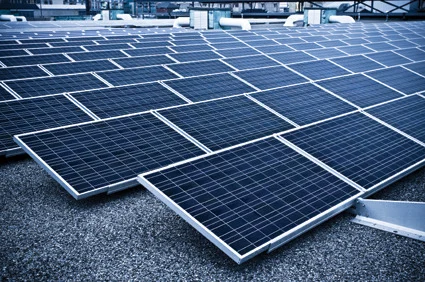
Case Study Details Home Enhancing Solar Site Assessment with 3D Point Cloud Scanning What is LiDAR? LiDAR (Light Detection and Ranging) is a remote sensing method that uses laser light to measure distances with high precision, creating accurate 3D representations of environments. How It Works Emits rapid LASER pulses toward a surface Measures time taken […]